
|
| Start | Previous image | Next image | End |
|
|
|
|
|
|
|
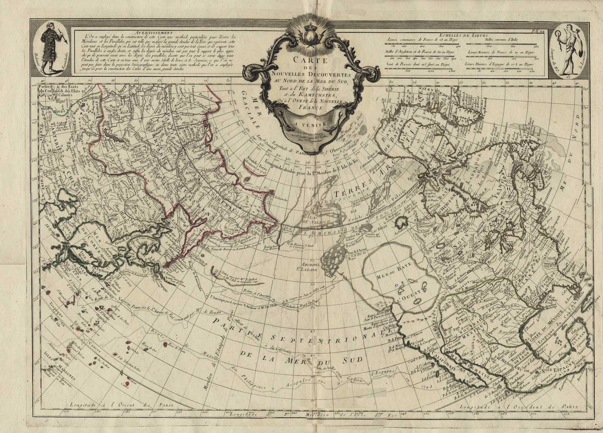
Item
Number: 1970:02007.15
Date of
map: 1652
Title:
Americae
Nova descriptio [map of new America: North and South America and a bit of
northeast Asia]
Cartographer
(personal name): Visscher, Nicolaum
Height
(inches): 19.5
Width (inches):
23.5
This map makes reference
to Magellan's voyage. It shows
locations of some ethnic groups and communities in North and South America,
with those people and towns illustrated in the margins.
Refers to the natives of Greenland using navigational instruments, and
notes the use of dugout canoes by Florida natives.
Mentions the legendary Quivara (an alternative name for southwestern
North America), and shows Greenland as a peninsula from a circumboreal land
mass, and California is also depicted as a peninsula.
Refers to the Maine-Maritime area as Norumbega.
The North Pole is shown in an insert.
Curved projection.
This
map forms part of the Cutter World Map Collection, collection C 003, at the Center of Southwest Studies, Fort Lewis
College.
© 2003 Center of Southwest Studies,
Fort Lewis College
All rights reserved (click here for Property Rights Statement).
1000
Rim Dr., Durango, CO 81301-3999 ~ Phone
970-247-7126 ~ Fax 970-247-7422
Page revised: November 14, 2003