
|
||||
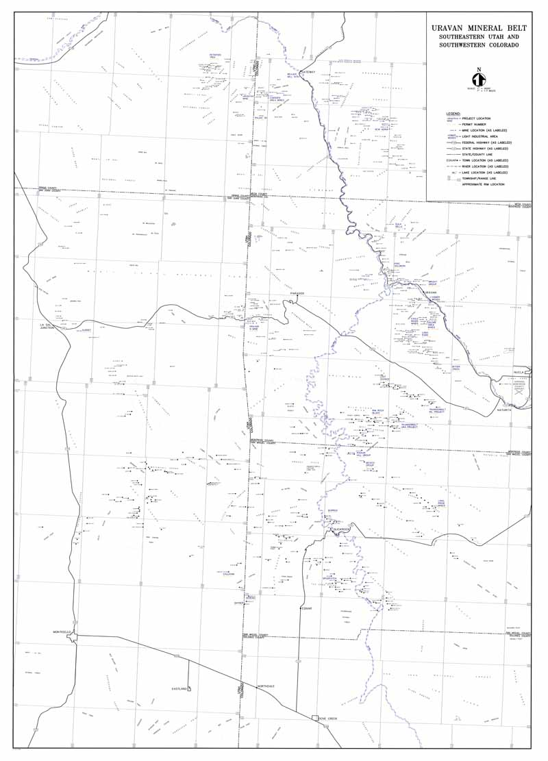
Smaller version (800 pixels wide;72 pixels per inch):
Larger version (2,250 pixels wide;150 pixels per inch):
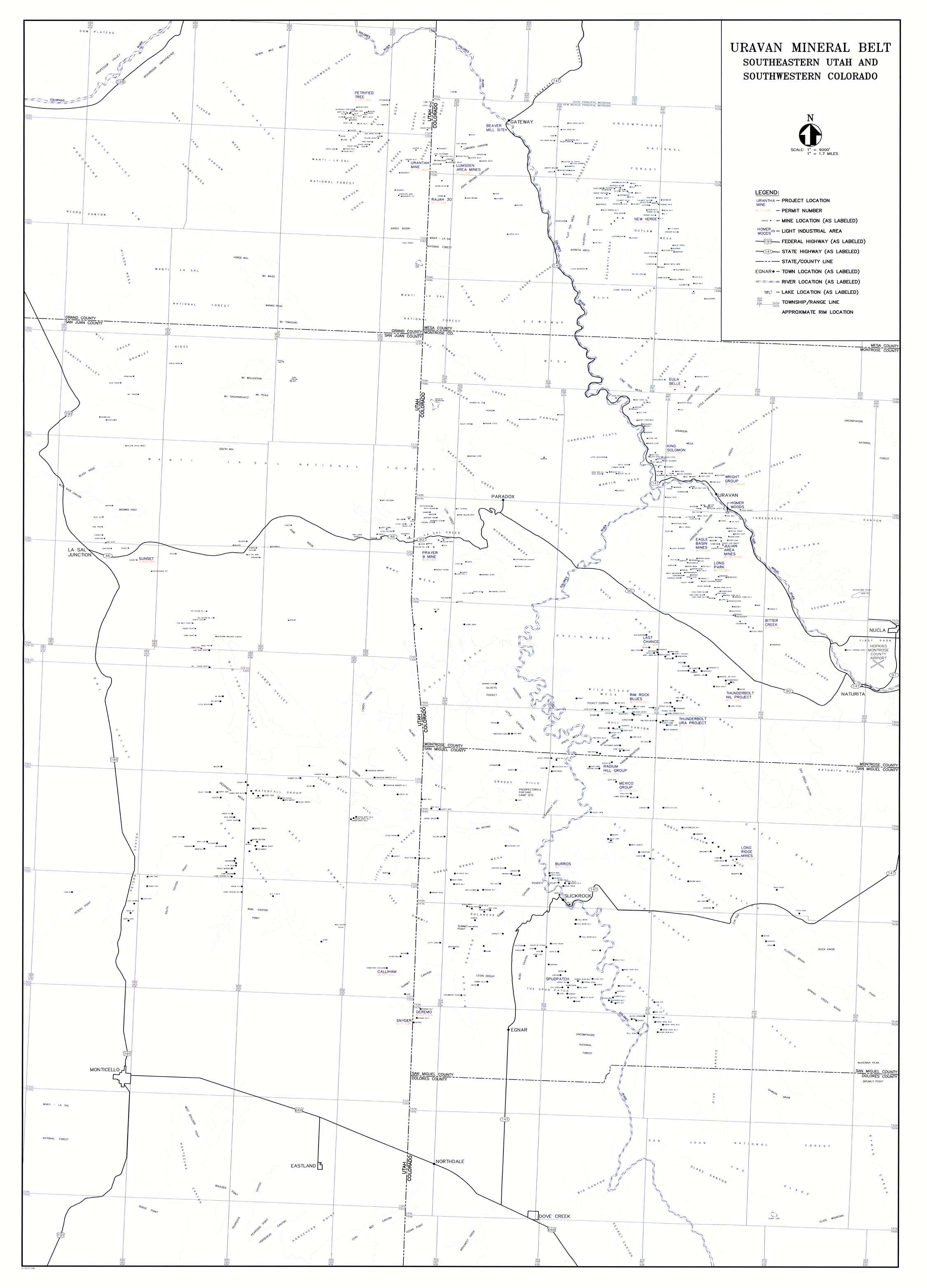
This map (Accession 2006:114) forms part of the Union Carbide Western Slope of Colorado uranium (etc.) mining records collection M 175 at the Center of Southwest Studies.
Digital image © 2008 Center of Southwest Studies,
Fort Lewis College.
All rights reserved.
Click here for Property Rights Statement and for
information on requesting a copy.
1000
Rim Dr., Durango, CO 81301-3999 ~ Phone
970-247-7126 ~ Fax 970-247-7422
Page revised: January 29, 2008