Collection
C 007:
Southwest U.S. Geological Survey
maps: inventory
Years this material was created:
1889-1990s
Quantity:
more than four thousand maps
© 1998 by Fort
Lewis College Foundation, Center of Southwest Studies account (last updated
October 2007
by Todd Ellison)
Links to contents
| Additional websites for maps of the Southwest U.S. | ||
|
Locating a particular map (also, you can look at the index map that is on the wall across from the USGS maps cases in the Delaney Library)
Use the USGS online Map Finder to find the title of a topographic map you want. You can either:
U.S. topographic maps use a standardized method of
description. The Public Land Survey system, as enacted by the United
States Congress in 1796, divided public domain lands into theoretically square
six mile units known as Congressional Townships (known simply as Townships).
Townships are based on a north-south access (the "Principal Meridian") and an
east-west access (the "Base Line"). Townships are numbered consecutively
from north to south; ranges are numbered from east to west. Each township
is divided into a six by six grid of 1-mile squares called Sections, each of
which theoretically is 640 acres (because the earth's meridians and base lines
are not perfectly parallel or square and because of surveying errors, there are
significant imperfections in this scheme). Sections are numbered in a
serpentine manner starting with Section 1 in the upper right/ northeast corner
of the township. [Section numbers appear as red numbers from 1 to 36 on
USGS topo maps.] Sections are divided into 160-acre quarters, and into
further divisions. Source: All Topo Maps / 2004 catalog by iGage (www.igage.com),
p. [8].
FAQ: Given a USGS 7.5' topographic map in front of me, how do I identify township, range, and section?
Answer*:
T.
= township
R. = range
sec. = section
"On the right and left borders of the map image (outside black line defining the edge of the map image) you will find, e.g. "T. 6 N." and T. 5 N." above and below (respectively) a solid heavy red line running across the map.
T. 6 N. would be above that dividing line, and T. 5 N. would be below that dividing line. These identify the townships shown on the map. Somewhere along the top and bottom borders of the map will be a notation such as R. 69 W. and R. 68 W, on the left and right (respectively) side of a solid heavy red line running the full length of the map. These identify the ranges shown on the map.
The map I'm looking at is Loveland, Colorado, and these particular township and range notations appear on it.
Each township, for example T. 6 N., R. 68 W. (township 6 north, range 68 west), has 36 sections within it. The numbering of the townships begins with "1" in the upper right corner, and continues to the left (west) across that row, ending with "6." Section 7 is immediately below section 6. The numbers continue in that row to the right (east) until you reach section 12, which is directly underneath section 6. The numbering continues, 6 sections to a row - and moving the way you'd plow a field - right to left, then left to right, etc.--until section 36, which is in the 6th row, the last "square" on the right. On the map I'm looking at, the section numbers are in red, and the section itself is defined by a lightweight continuous red line. All 36 sections of a given township may not appear on a single given 7.5' topographic map. Frequently there are some sections from different townships.
For purposes of describing a geographic location, a section can be divided into halves and/or quarters. For example, to describe the northwest quarter of section 6 in township 6 north, range 68 west, you would write: NW1/4sec. 6, T.6 N., R.68 W. You could then add "Loveland 7.5' quadrangle, Colorado". If this is in fact for a "real" legal description, check with legal eagles as to whether you need to include the Base Line and Principal Meridian references; the legal eagles should know which one is pertinent. The United States has several Base Lines (running east-west) and Principal Meridians (running north-south) upon which the North and South township and east and west range, counts are based. Therefore, there can be several T.6 Norths, depending on the Base Line.
AN IMPORTANT NOTE: The township and range system does not apply in the entire United States. It began with surveying in and west of Ohio, I think, way back when/around the time of the Northwest Territories (Ohio, etc.), and is in use in mid-west and western states. ... To make it all more interesting, there are quasi-political units called "Townships" in many midwestern states!!"
*Source (April 9 and July 31, 2001 via emails to Todd Ellison):
Carol Edwards, U.S. Geological Survey Field Records Library, Denver, Colorado.For more info about the section, township, and range system that is in use in the western states of the U.S., see the Wisconsin State Cartographer's Office's site at http://feature.geography.wisc.edu/sco/geodetic/plss.html
FAQ: How do we tell how many "minutes" a map is?
Answer*: look at the corners of the map to see either the latitude or the longitude, and subtract the lower number from the higher one in each category. (Note: consider these numbers like the time on a clock -- thus, a map that shows 107º00' on the upper left corner and 106º30' on the lower left corner is a 30 minute map. That same map has 38º00' on the upper right corner and 37º30' on the lower right corner, which also subtracts to give us 30 minutes.) This method will give you the number of degrees, minutes, seconds covered by the map.
*Source (September 13, 2002 via emails to Todd Ellison): Caryl L. Shields, Reference Librarian, U.S. Geological Survey Library, Denver, Colorado, cshields@usgs.gov
Introduction/ Scope and contents
SOUTHWEST USGS MAPS
Collection C 007
Dates:
1889-199-
This collection contains more than three thousand United States Geological Survey (USGS) topographic maps of the Southwest, especially of the Four Corners states, for the period from 1889 through the 1990s (bulk 1947-1987). Many of the maps are outdated or obsolete--but nonetheless useful for historical research. On some of those non-current maps, a cross-reference to the title of the replacing new map has been noted by the old map's title. Most of the items in this collection, which includes over 2,000 distinct titles, were transferred to the Southwest Center from the general college library (Reed Library) at Fort Lewis College in October of 1994. Current USGS maps of the Four Corners region can be found in the cartographic collection at Reed Library.
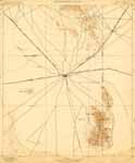
Digital access: We have provided digital image access to more than seventy select early USGS maps. To begin browsing through the Center of Southwest Studies' digital images of some early maps of the Four Corners region, click on one of the following thumbnail images.
Abajo, UT., 1893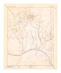 |
Albuquerque, N.M. , 1893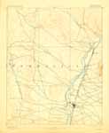 |
Beaver, UT., 1885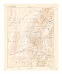 |
Boulder Lake, N.M. , 1955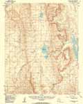 |
Bradshaw Mountains, AZ., 1903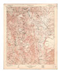 |
Camp Mohave, AZ., 1905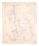 |
Canyon de Chelly, AZ., 1892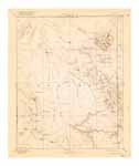 |
Chaco, N.M., 1892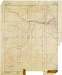 |
Chino, AZ., 1891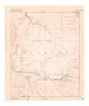 |
Congress, AZ., 1905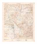 |
Cub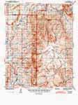 a, N.M., 1943 a, N.M., 1943
|
Deming, N.M., |
Diamond Creek,
AZ., 1892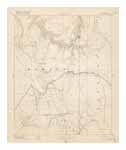 |
Durango, CO.,
1907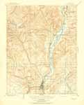 |
Echo Cliffs, AZ., 1892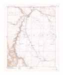 |
Escalante, UT., 1886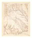 |
East Tavaputs, UT., 1885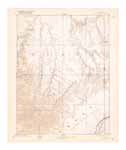 |
Fish Lake, UT., 1896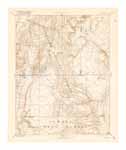 |
Fort Defiance,
AZ./N.M., 1892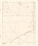
|
Gallina, N.M.,
1909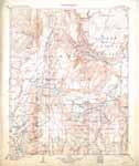 |
Henry Mountains,
UT., 1892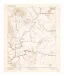 |
Holbrook, AZ.,
1893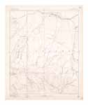 |
Jemez, N.M., 1892 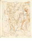 |
Jerome, AZ.,
1905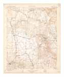 |
Kaibab, AZ.,
1886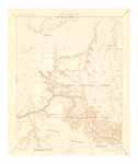 |
Kanab, UT., 1886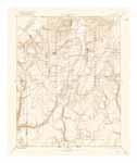 |
Kirtland,
N.M., 1932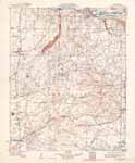 |
Lake City,
CO., 1905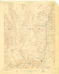 |
Lamy, N.M.,
1894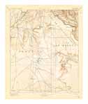 |
La Plata, CO.,
1908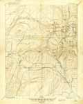 |
Largo, N.M., 1895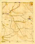
|
La Sal, UT.,
1885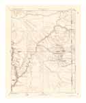 |
Las Vegas,
N.M., 1893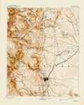 |
Littlefield,
AZ., 1954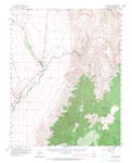 |
Manti, UT., 1885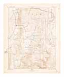 |
Marsh Pass,
AZ., 1892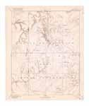 |
Montrose, CO.,
1911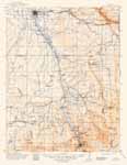 |
Monument
Canyon, UT-CO,
1957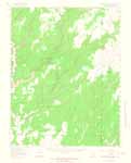 |
Mt. Taylor,
N.M., 1899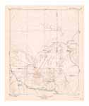 |
|
Mt. Trumbel, AZ., 1892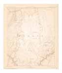 |
Needles, AZ.,
1904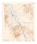 |
Ouray, CO., 1904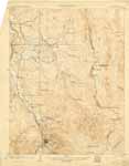
|
Pikes Peak, CO.,
1901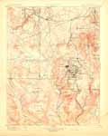 |
Price River, UT., 1886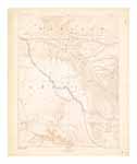 |
Red Mesa, CO.,
1913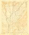 |
Rico, CO., 1899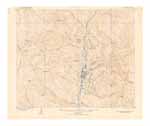 |
Saint Thomas, AZ., 1886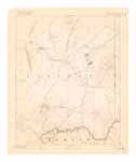 |
San
Francisco Mountain, AZ., 1894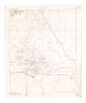 |
San Pedro, N.M.,
1892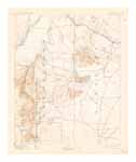 |
San Rafael, UT., 1885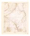 |
Santa Clara,
N.M., 1892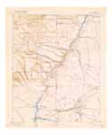 |
Santa Fe, N.M.,
1894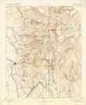 |
Ship
Rock, N.M., 1937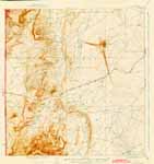 |
Silverton,
CO., 1902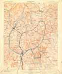 |
Soda Canyon (Mesa Verde National Park), CO., 1915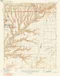 |
Spanish Peaks,
CO., 1897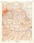 |
St. George, UT.,
1891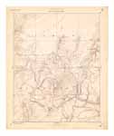 |
St. Johns, AZ./N.M., 1892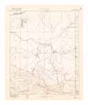 |
St. Johns, AZ./N.M., 1901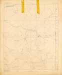 |
Tusayan, AZ.,
1886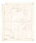 |
Uncompahgre,
CO., 1911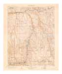 |
Verde, AZ.,
1892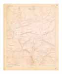 |
Wingate, N.M.,
1916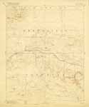 |
To order color copies of the maps shown above (approximate actual dimensions 21" x 17"), snail-mail to the Center of Southwest Studies your completed Image Duplication Request form (print it out from the Web at http://swcenter.fortlewis.edu/Info_researchers/sw-4.htm ) and your check, payable to the Center of Southwest Studies. The cost is $34 per map, plus the handling/mailing fee which is $2 per image (minimum $5; map copies are mailed rolled). If a digital image of a USGS is not displayed in the above table, the Center does not yet have a digital scan of that map; if you want to request such a map, add $10 (per undigitized map) to your payment
For additional maps,
made available through the U.S. Geological Survey, visit:
http://store.usgs.gov/
http://rockyweb.cr.usgs.gov/
Recent USGS digital raster graphic (DRG) topographic maps of New
Mexico (and some spillover into adjacent states) can be viewed online at http://sar.lanl.gov
Administrative information
Arrangement note: The USGS topographic maps are arranged by scale, then by state, then by map name (place name), then by date of creation of the map.
Acquisition information: Most of the items in this collection were transferred to the Southwest Center from the general college library (Reed Library) at Fort Lewis College starting in October of 1994. Reed Library is a selective housing repository for federal maps, and receives each new/revised USGS topo map of the region as it is produced by USGS. On December 17, 2004, Mr. A. L. "Al" Kroeger donated to the Center of Southwest Studies 111 early USGS maps of Four Corners places (accession 2004:12007) which he had earlier loaned for duplication and digitization (accession 2004:01011; these included the 65 maps the Center scanned for inclusion in this web page).
Processing information: This guide was produced by Todd Ellison, Certified Archivist, Center of Southwest Studies; last revised December 17, 2004. The initial data entry was by the Center's archival student assistant, Jeffrey Brown. Subsequent data entry by Marion Mester and other archival student assistants.
Map storage locations
Map storage locations: these maps
are housed at the Delaney Southwest
Research Library in oversize flat file case #4, in the
following drawer locations. The maps are organized first by state, then by
scale. A small-scale map (like 7.5º -- which is on a scale of 1:24,000)
covers a smaller area than a large scale map (such as 60º or 30º), and has more
detail than a large scale map. Fort Lewis College's set of current
USGS maps for the Four Corners region and beyond are located in the map area
on the main floor of Reed Library.
| Drawer number (in map case 4) |
State/ scale/ drawer contents overview |
| 4:1 | Arizona USGS 60º, 30º, and 15º (A-K) topographic quadrangle maps |
| 4:2 | Arizona USGS 15º topographic quadrangle maps (L-Sa) |
| 4:3 | Arizona USGS 15º topographic quadrangle maps (Se-Z) |
| 4:4 | Arizona USGS 7.5º topographic quadrangle maps (A-Cl) |
| 4:5 | Arizona USGS 7.5º topographic quadrangle maps (Co-K) |
| 4:6 | Arizona USGS 7.5º topographic quadrangle maps (L-Ph) |
| 4:7 | Arizona USGS 7.5º topographic quadrangle maps (Pi-Sa) |
| 4:8 | Arizona USGS 7.5º topographic quadrangle maps (St-Z) |
| 4:9 | Colorado USGS 60º and 30º topographic quadrangle maps |
| 4:10 | Colorado 15º topographic quadrangle maps |
| 4:11 | Colorado county topographic maps |
| 4:12 | Colorado 15º topographic quadrangle maps, continued |
| 4:13 | Colorado USGS 7.5º topographic quadrangle maps (A-Cop) |
| 4:14 | Colorado USGS 7.5º topographic quadrangle maps (Cor-E) |
| 4:15 | Colorado USGS 7.5º topographic quadrangle maps (F-J) |
| 4:16 | Colorado USGS 7.5º topographic quadrangle maps (K-O) |
| 4:17 | Colorado USGS 7.5º topographic quadrangle maps (P-So) |
| 4:18 | Colorado USGS 7.5º topographic quadrangle maps (Sp-Z) |
| 4:19 | New Mexico USGS 60º and 30º topographic quadrangle maps |
| 4:20 | New Mexico USGS 15º topographic quadrangle maps |
| 4:21 | New Mexico USGS 7.5º topographic quadrangle maps (A-Ca) |
| 4:22 | New Mexico USGS 7.5º topographic quadrangle maps (Ce-Eu) |
| 4:23 | New Mexico USGS 7.5º topographic quadrangle maps (F-K) |
| 4:24 | New Mexico USGS 7.5º' topographic quadrangle maps (La-Pra) |
| 4:25 | New Mexico USGS 7.5º topographic quadrangle maps (Pre-S) |
| 4:26 | New Mexico USGS 7.5º topographic quadrangle maps (T-Y), and Utah 30º and 60º |
| 4:27 | Utah USGS 15º topographic quadrangle maps (A-Z) (see also drawer 40) |
| 4:28 | Utah USGS 7.5º topographic quadrangle maps (A-Cle) |
| 4:29 | Utah USGS 7.5º' topographic quadrangle maps (Clo-Go) |
| 4:30 | Utah USGS 7.5º' topographic quadrangle maps (GU-L) |
| 4:31 | Utah USGS 7.5º topographic quadrangle maps (M-O) |
| 4:32 | Utah USGS 7.5º topographic quadrangle maps (P-Ste) |
| 4:33 | Utah USGS 7.5º topographic quadrangle maps (Sti-Z) |
| 4:34 | Texas and other states USGS topographic quadrangle maps (very selective) |
| 4:35 | Southern California USGS 7.5º topographic quadrangle maps (A-L) |
| 4:36 | Southern California USGS 7.5º topographic quadrangle maps (M-Q) |
| 4:37 | Southern California USGS 7.5º topographic quadrangle maps (R-Z) |
| 4:38 | Nevada USGS 7.5º topographic quadrangle maps |
| 4:39 | New York USGS topographic quadrangle maps (relating to Native American lands) |
| 4:40 | Utah USGS 15º topographic quadrangle maps (see also drawer 27) |
Lists of map titles
ARRANGED BY STATE, THEN BY MAP TITLE
| Arizona | California | Colorado | |
| Nevada | New Mexico | New York | Utah |
Note: there is but one specimen of the map unless a different number is noted, or where there is a note that the title includes a map of another year too.
Doing your own research: This description of a portion of the collections at the Fort Lewis College Center of Southwest Studies is provided to inform interested parties about the nature and depth of the repository's collections. It cannot serve as a substitute for a visit to the repository for those with substantial research interests in the collections.
These collections are located at the Center of Southwest Studies on the campus of Fort Lewis College. Interested researchers should phone the archivist at 970/247-7126 or send electronic mail to the archivist at: archives@fortlewis.edu . Click here to use our E-mail Reference Request Form. The Center does not have a budget for outgoing long-distance phone calls to answer reference requests, so please leave us your email address if you wish to receive a response from the Center.